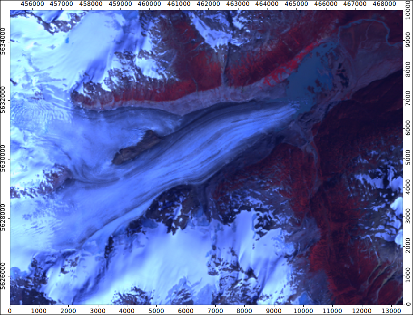
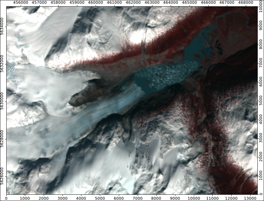
This project examines the spatial distribution of sediment and vegetation characteristics across the proglacial areas of Bridge Glacier, an alpine valley glacier located in the Lillooet Icefield, British Columbia. The aim of this project was to map out the distribution of different variables and trends of variables over the proglacial area in order to understand the patterns of their distribution. Some of the variables examined in this study include the C40 index, the RA index, D50 values, and vegetation density. The types of spatial analyses used included an analysis of the spatial distribution of deposits, a trend surface analysis, a hot spot analysis, an ordinary least squares analysis, and a spatial autocorrelation analysis. The results from these studies show that it is difficult to discern specific patterns within any of the variables. Instead of one area containing deposits that have similar types of values for a given variable, there are often many different values for that variable in close proximity to each other. The lack of pattern within specific areas in the proglacial zone indicates that instead of analyzing the data by area, it should instead be analysed by comparing different types of deposits or by looking at specific polygons.
This project was completed by Lucy MacKenzie as part of GEOB 370 Winter term 2011.
